- SLOPE: Approximate 800 to 1.000 mts.
- TECHNICAL DIFFICULTY: Easy.
- PHYSICAL DIFFICULTY: Medium.
- PATH: 2.500 meters to the summit.
- RISE TIME: 4 hrs.
- TIME LEFT: 1 hrs.
- DEPARTURE TIME FROM SPA: 5am.
- ARRIVAL TIME TO SPA: 4pm approx.
Tumisa Volcano
(5.670m / 18.602ft)

Duration: 1 day
Tumisa Volcano - 1 day
To receive information about our activities, fill out the form below. The CHUCARO team will respond as soon as possible.
- Acclimatization in height and talk with the guides before the ascents.
- Health compatible with physical effort in height.
- Adapt an itinerary that considers breaks before the ascents to mountains.
- Good nutrition and hydration.
(Depending on the time of year, certain equipment may vary)
- First, second and third layers.
- Trekking boots.
- Trekking poles.
- Gloves, Hat for cold.
- Sunglasses.
- Sunscreen.
- Attack Backpack or Small Backpack.
- Transport.
- Mountain guide.
- Satellite and Communication phone.
- First aid kit, Oxygen.
- Mountain feeding.
- Life insurance.
- Accident insurance (in case of accidents, the transfer will be made to the nearest medical center).
Description
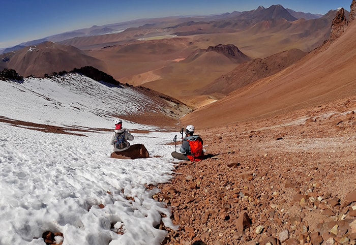
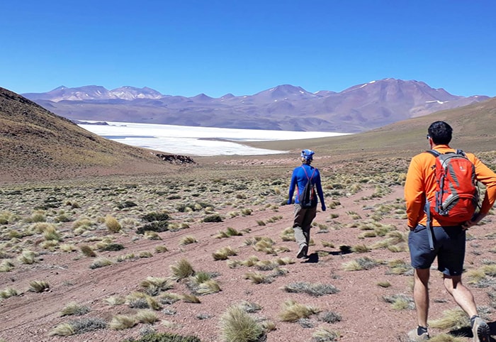
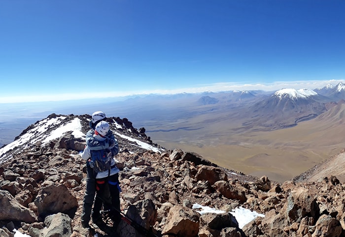
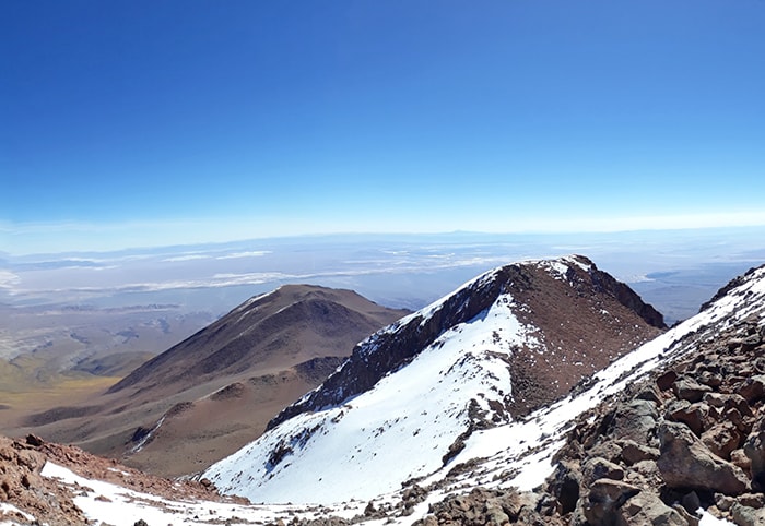
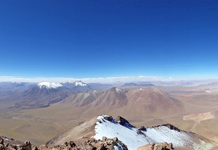
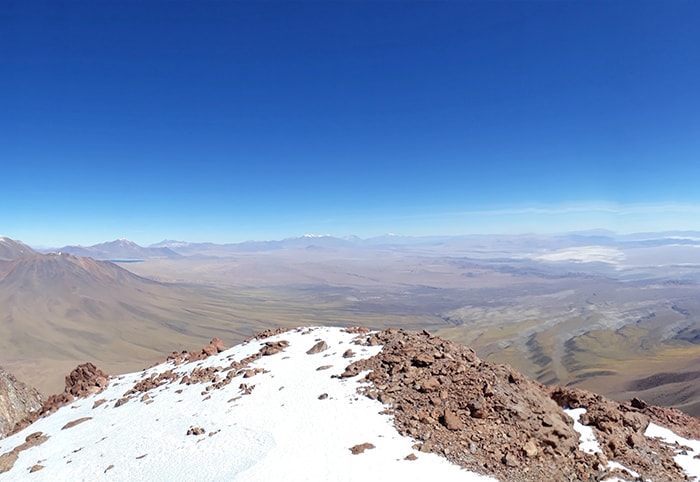
The Tumisa draws attention to the 3 visible peaks that can be seeing from any point in the Salar de Atacama basin. Located at the Cordillera de Los Andes, neighbor of the Lascar volcano (5.592 meters) and the Corona volcano (5.291 meters) and about 70 kilometers south of San Pedro de Atacama. When the Tumisa have snow at the top, a beautiful path (gutter) it’s reveled on the northeast face of the mountain that goes directly to the highest ridge.
ITINERARY
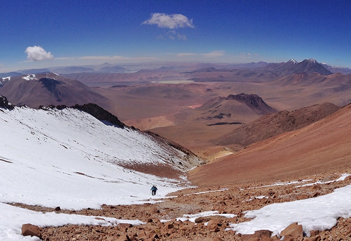
The regular route when there isn’t snow is on the same northeast side, entering by an old sulfur road that depending on the conditions of the land, you can reach up to 4.800 meters arriving at an old mining field. From there, the ascent begins by a narrow path that continues for 800 meters. When this path ends, the climb route goes to the left of the path (gutter) which when is without snow is only stone and sand.
It´s not a technical climb, but it is very tiring, since the terrain that you walks, is a quite uncomfortable and with a fairly steady rise of about 30 to 35º degrees of climb.