- SLOPE: Approximate 400 mts.
- TECHNICAL DIFFICULTY: Medium.
- PHYSICAL DIFFICULTY: Medium.
- PATH: 1.500 meters to the summit.
- RISE TIME: 2 to 2:30 hrs.
- TIME LEFT: 1:30 hrs.
- DEPARTURE TIME FROM SPA: 6am.
- ARRIVAL TIME TO SPA: 3 – 4pm approx.
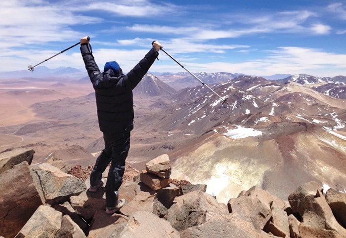
Sairecabur Volcano
(5.978m / 19.612ft)

Duration: 1 day
Sairecabur Volcano - 1 day
To receive information about our activities, fill out the form below. The CHUCARO team will respond as soon as possible.
- Acclimatization in height and talk with the guides before the ascents.
- Health compatible with physical effort in height.
- Adapt an itinerary that considers breaks before the ascents to mountains.
- Good nutrition and hydration.
(Depending on the time of year, certain equipment may vary)
- First, second and third layers.
- Trekking boots.
- Trekking poles.
- Gloves, Hat for cold.
- Sunglasses.
- Sunscreen.
- Attack Backpack or Small Backpack.
- Transport.
- Mountain guide.
- Satellite and Communication phone.
- First aid kit, Oxygen.
- Mountain feeding.
- Life insurance.
- Accident insurance (in case of accidents, the transfer will be made to the nearest medical center).
Description
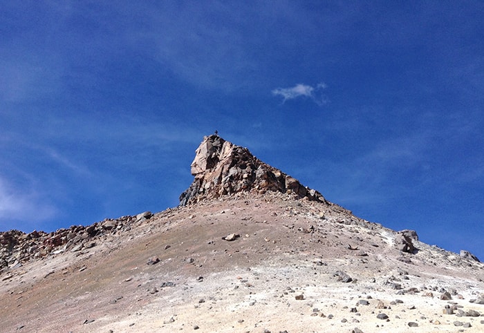
In the local dialect of kunza, it means something like «Mountain of the rain», and stands out for being one of the highest mountains in front of San Pedro de Atacama with almost 6.000 meters and besides having access by an old path of sulfur source reaching the base at 5.600 meters altitude.
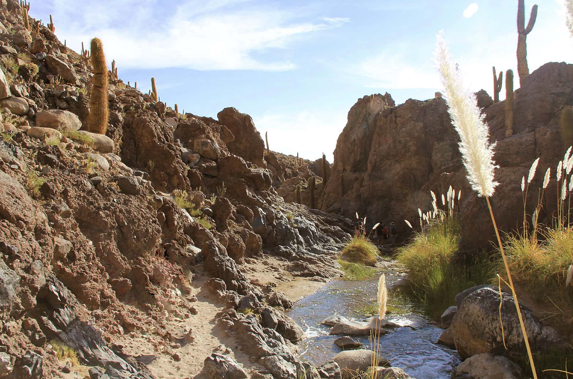
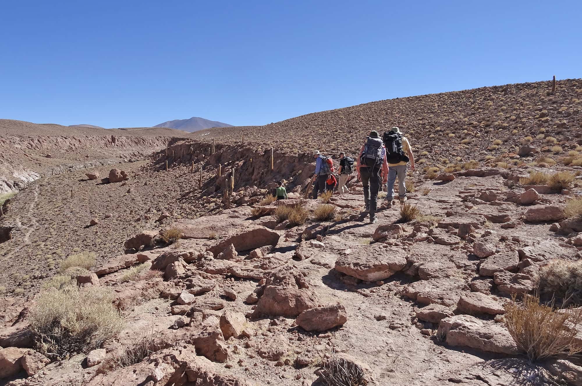
It is located around 60 kilometers northeast of San Pedro de Atacama, considering that the first 40 kilometers of road are in good condition, the last 20 km the progress is very slow. A 4 × 4 vehicle journey takes about 2 hours.
ITINERARY
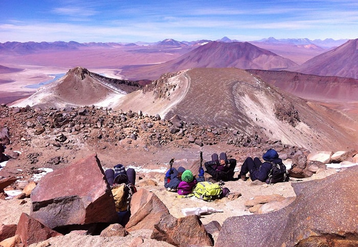
Once at the base, the ascension route is faced by the south face of the mountain, with a not very clear alley and with a slope of about 25º degrees that rises by the eastward first, climbing one of shoulder of the Sairecabur , to later have access through a strip of about 250 meters and with 40º degrees rise with a unclear marked trail where you climb up looking for large rocks to walk, which makes that part of the climb a little easier . The last part of the climb is fairly quiet in terms of terrain, but no less tiring, considering the height and speed of the climb.
In resume, the Sairecabur is a mountain where acclimatization and physical conditions are necessary; the climb is fast itself, takes average 2 to 3 hours, but probably the biggest difficulty is the height at the base, which is very high, where begins the ascent to 5.600 meters. Experience on steep hikes are needed.